
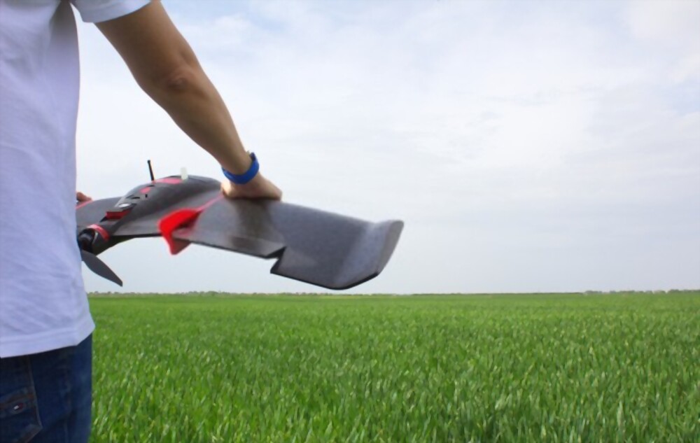
From a photographer's point of view, aerial photography is one of the most powerful assets in their tool kit. However, for surveying jobs and visible topography, aerial photogrammetry is essential. That's what makes both have distinct meanings. You get 2D or 3D models to acquire accurate measure…