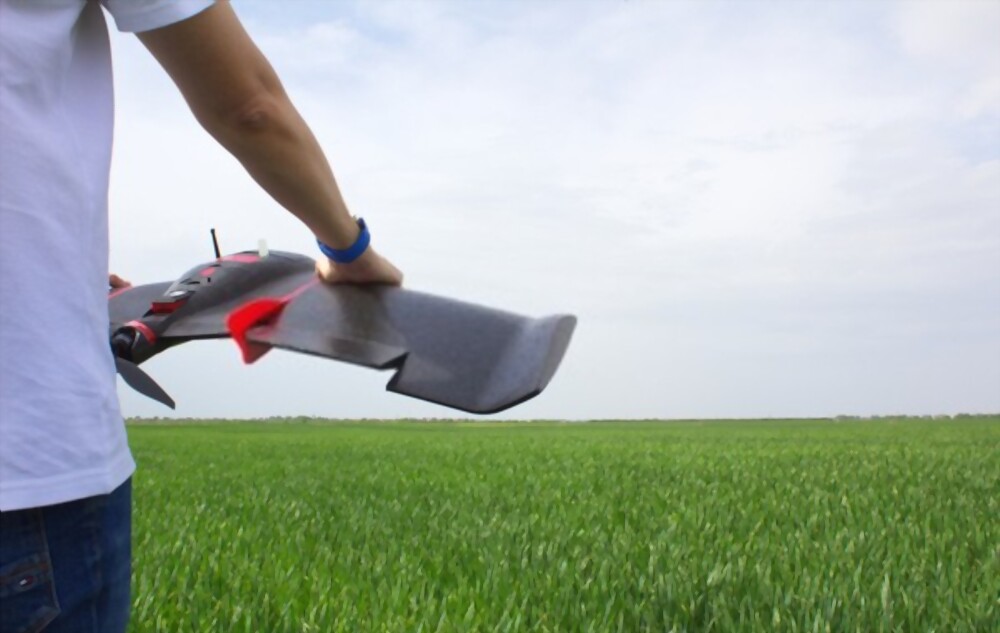
From a photographer's point of view, aerial photography is one of the most powerful assets in their tool kit. However, for surveying jobs and visible topography, aerial photogrammetry is essential. That's what makes both have distinct meanings. You get 2D or 3D models to acquire accurate measurements with hundreds of separate images. This technique is used specifically in the geological sectors to understand geological graphs, imaging, and collect specific measurements for it. You have two main types of photogrammetry: metric and interpretive. In both cases, a computer software program that combines images and an accurate 2D or 3D model is created. From this blog, you can determine the uses of aerial photogrammetry in the geographical world. It will help you make an informed decision between aerial photography or photogrammetry.
