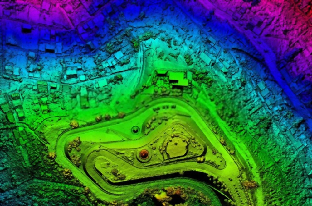
Aerial drone survey techniques are revolutionizing land mapping and site analysis across various industries. NV5 is at the forefront of this revolution, offering cutting-edge services such as photogrammetry, LiDAR, thermal imaging, multispectral imaging, real-time video streaming, ground control…