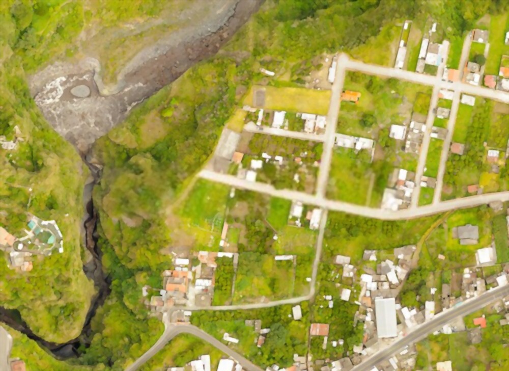
Collecting, integrating, and displaying various forms of geographical data are all part of the geospatial analytics service. It helps describe and portray how people, things, and events interact in space and create predictions based on patterns in spatial connections. What is geospatial processing, and why is it being used by so many companies for analytics and other purposes? In this blog, we'll look at the following to get answers to these and other questions: (A)What is the definition of geospatial data analysis? (B)There are four advantages of incorporating geographic data in analytics. (C)Top 5 strategies to efficiently employ geospatial data analysis (D)The market and industry for geospatial data analytics are evolving. In the framework of a visual depiction of what the world looks like. Data that would be hard to explain if read in a column or worksheet becomes much easier to comprehend. It makes patterns like distance, closeness, the density of a parameter that evolves constantly, and other interactions easier to see.
